Pilots have access to more preflight weather resources available now than ever before thanks to mobile apps and the expansion of weather product offerings from the National Weather Service (NWS) and its Aviation Weather Service division. Many of these text forecasts and charts are integrated right into the popular all-in-one aviation EFB apps, viewable as selectable layers when planning a flight on an interactive map.
 METARs, TAFs and radar imagery only scratch the surface though when it comes to the wide variety of data pilots should review before a flight. The challenge in working with this extensive library of weather data is first knowing what resources are available from the NWS, and then secondly where to find them. Most originate in some form on a government weather website, but the layout and organization of these sites leave a lot to be desired, making it difficult at times to find the specific chart, forecast or report you’re looking for.
You could rely on the Flight Service standard weather briefing in its latest digital form, but even this resource doesn’t include all the latest weather tools, like graphical forecasts for ceiling, visibility, turbulence or icing, Convective Forecasts or MOS precipitation forecasts. The end result is the need to review a variety of websites and mobile apps to thorougly brief the weather.
There are so many useful weather apps out there that many pilots keep a dedicated folder on their iPad to keep them all organized (check out our review of the 10 best weather apps if you’re looking to start or expand your collection). One of our favorite supplemental weather resources from the National Weather Service is the Area Forecast Discussion, which can be directly accessed in a free app called Deep Weather.
 The Area Forecast Discussion is a text-based resource (not to be confused with the legacy Area Forecast) provides an easy-to-read narrative of the current and forecast conditions for regions around the U.S. It is written by the same meteorologists that produce the TAFs for each respective region and gives the background as to the larger-scale factors which are driving the weather.
TAFs are limited by both shorthand symbols and coverage to only 5 NM around the airport, and the Forecast Discussion can help fill in the blanks and give you a better feel for the confidence level behind each line of the TAF. They represent the “Story behind the weather story,” a glimpse behind the scenes of your current forecast, and provide lots of detail not found anywhere else.
For example, you’ll often see the code VCSH in a TAF, short for showers in the vicinity. This could mean anything from a passing light rain shower to the potential for thunderstorm buildups directly over the airport. The Area Forecast Discussion will shed some light on this vague forecast code, including a look at atmospheric stability, probability and expected precip coverage near the airport. It’s also great for those times you’re on the fence about making a flight after seeing low ceilings or visibilities in the TAF.
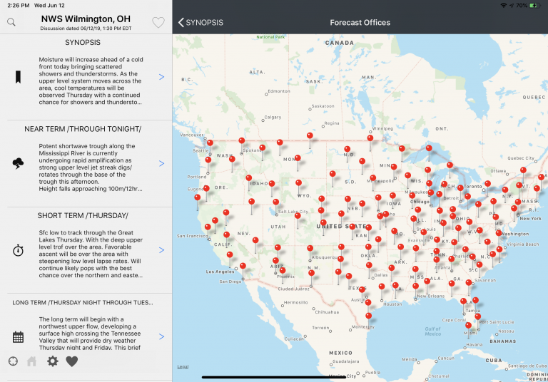
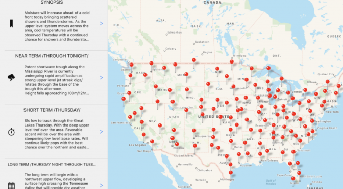
The Deep Weather app provides an easy-to-use interface that allows you to first choose an NWS forecast location from an interactive map:

It then breaks down the forecast into selectable sections: synopsis, near term forecast, short term forecast, long-range forecast and an aviation outlook:

Deep Weather is a free download from the app store and provides all the Area Forecasts Discussion data for the entire U.S., updated regularly throughout the day. For $4.99, you can upgrade to a premium version that includes a Dark Mode scheme, favorite stations list and pop-up weather glossary.
Deep Weather isn’t the only place to find this forecast data (it’s also in many of the popular EFB apps and on the NWS website), but you’ll find it convenient to have direct access to all forecast regions right from a dedicated app.
The post Deep Weather app provides quick access to NWS forecast discussions appeared first on iPad Pilot News.
Source: Ipad appsDeep Weather app provides quick access to NWS forecast discussions
